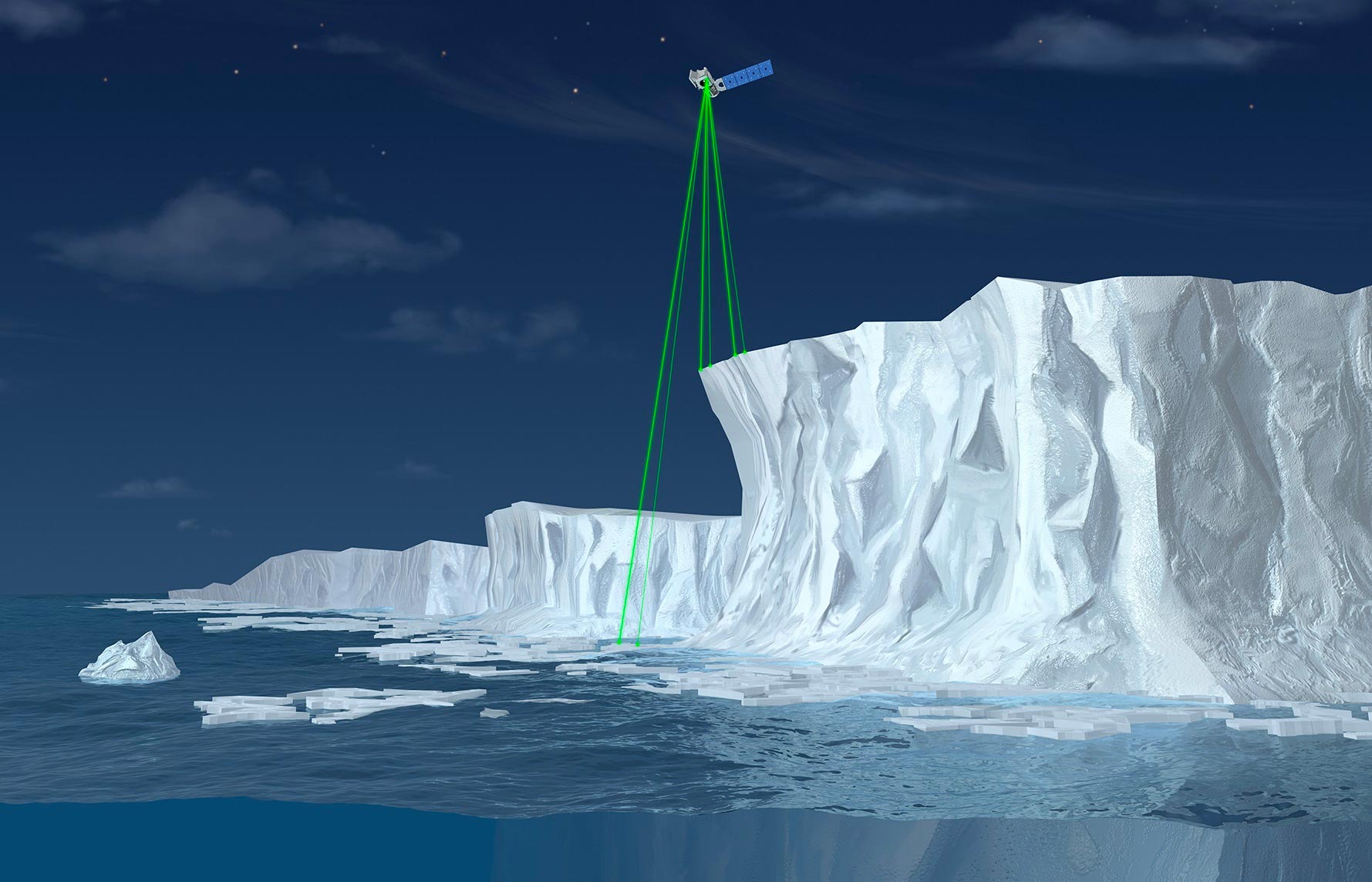
In the world of research, scientific advancements across multiple fields are enabling researchers and scientists to collect data about our planet in unprecedented ways. In recent years, the use of satellite technology has transformed our ability to observe vast, remote regions of our planet, and satellite-based remote sensing techniques have revolutionized our understanding of Earth's ecosystems, weather patterns and natural resources.

One such satellite, ICESat-2, is set to be launched in 2018 and promises to be a game-changer for scientists and researchers across many disciplines. ICESat-2 (short for Ice, Cloud and land Elevation Satellite) is a highly advanced satellite that will use lasers to measure the elevation of Earth's surface with incredible precision.
With lasers emitting signals downwards, a sensor synchronized with the lasers measures the time taken for the signal to return to the satellite, much like an ultrasound works. The speed of light serves as a constant, and the time delay between signal emission and return is used to calculate the distance between the satellite and the surface of the Earth to within a few centimeters. By repeating this process and taking measurements at different locations, ICESat-2 will effectively produce a three-dimensional map of the Earth's surface, providing invaluable insights for scientists studying global climate change, forest management, and natural disasters.
Scientists will utilize the data provided from ICESat-2 for a range of scientific endeavors, one of which is the study of glacier behavior. Greenland and Antarctica hold the largest quantities of freshwater in the world, and the large-scale melting of these ice sheets is one of the most critical drivers of sea-level rise globally. ICESat-2 will offer a vast range of data on the measurement of these ice sheets.
The robust, three-dimensional datasets will help to monitor the behavior of these ice sheets, allowing scientists to understand glacier movement and changes in ice-sheet geometry over time. Such observations will provide crucial insights into sea-level rise and its potential implications for coastal regions around the world.
Another key use for ICESat-2 is within the forestry industry. Forestry management is critical to ensure the health and sustainability of our forests, and the precise and detailed data provided by ICESat-2 will make forest management more accurate and efficient. By using its advanced technology to measure how canopy heights relate to the underlying topography, ICESat-2 aims to provide more accurate estimates of the amount of carbon stored in large forests, improving the measurement of forest biomass.
Forest carbon is one of the valuable resources held in earth’s forest systems. ICESat-2 data will contribute to better management of forest resources, an essential part of combatting climate change by understanding the role that trees play in absorbing carbon dioxide.
The launch of ICESat-2 is an exciting prospect, and its innovative technology will likely provide significant insights to the scientific community. The satellite's advanced measurement capabilities will help researchers to better understand how Earth's surface is changing, providing invaluable insights that may inform policies and management techniques around the world.
In conclusion, ICESat-2 is poised to take satellite-based research to new heights, providing expansive datasets that aim to uncover new insights into the complex workings of our planet. As science continues to advance, the data collected from ICESat-2 will help us better understand the world around us and potential implications of climate change for generations to come. With ICESat-2, researchers must be able to paint a more complete ecological and geological picture of Earth, which will inform policy, management, and scientific investigation for years to come.