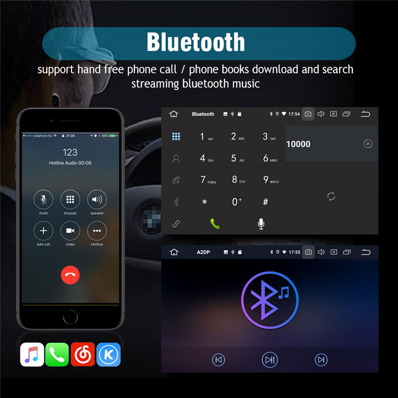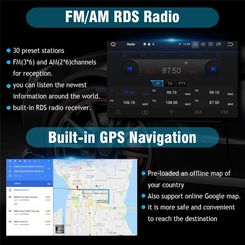


 The car navigation system is the bai car GPS navigation system. Its built-in GPS antenna will receive data from at least 3 of the 24 GPS satellites orbiting the earth, combined with the electronic map stored in the car navigator, through GPS The position coordinates determined by the satellite signal are matched with this, and the accurate position of the car in the electronic map is determined. This is the usual positioning function. On the basis of positioning, it can provide the best driving route, the road conditions ahead and the nearest gas station, restaurant, hotel and other information through the multifunctional display. If, unfortunately, the GPS signal is interrupted and you get lost, don’t worry, the GPS has recorded your driving route, and you can still go back the same way. Of course, these functions are inseparable from the map software that has been compiled in advance. Installation method: Open the car navigation, find the file manager, click to open the file manager, enter the file manager, click the local USB device, enter the device, select the software to be installed, and click the installed software. Click the installation package you want to install, click the prompt message, click Install, the installation is displayed, wait for the installation to succeed, and finally click the homepage of the car navigation screen to find the newly installed software and open it.
